On the Android version of iNaturalist, there seems to be a glitch in how big “Star City, WV” actually is. For the last . . .oh, two weeks or so, any local Observation I make outside of the Morgantown city limits - and manually shift the location of, to make more accurate - is listing as being in “Star City”.
Previously, such observations would list as being in Morgantown, the nearest incorporated community (such as Braewick Woods), or just the county (Monongalia). Now, though, they’re listing as being in “Star City”, which is a small local town of less than 2,000 residents, and officially only covers about half a mile.
If I had to guess, someone accidentally set the parameters on Star City way, way too big. Maybe something in the vein of “anything in Monongalia County that isn’t Morgantown is Star City”?
It’s a nice little town, but it’s also one of the smaller ones in the area, so having everything default to it doesn’t make much sense.
(The location of the Observation on the map itself isn’t changing, just where iNaturalist describes that location as being.)
I don’t know if the desktop/PC version or iPhone version have the same issues.
I can’t say with certainty that it’s the same thing, but it’s very possible: Google Maps (and subsequently iNaturalist) has been listing the area I live incorrectly in the past month or so too.
The community I live in is recognized and has had its own name for probably 200 years, so I have no idea why it changed to something else… the Census recognizes that the area it changed the name to is 100% terrestrial, but I live on a lake. It’s very, very incorrect and I can’t explain it. I guess we’re in the same zip code, but we’re at least 15 miles apart.
Hopefully it’s some sort of error on Google’s part and they’ll fix it soon…
If you think that’s bad, you should see the results Google Maps gives for rural Central America. And since Google Maps has been enshittified for years now, the only feedback you can provide is about business locations, not town locations. Does anyone know of a better API for getting location names from coordinates?
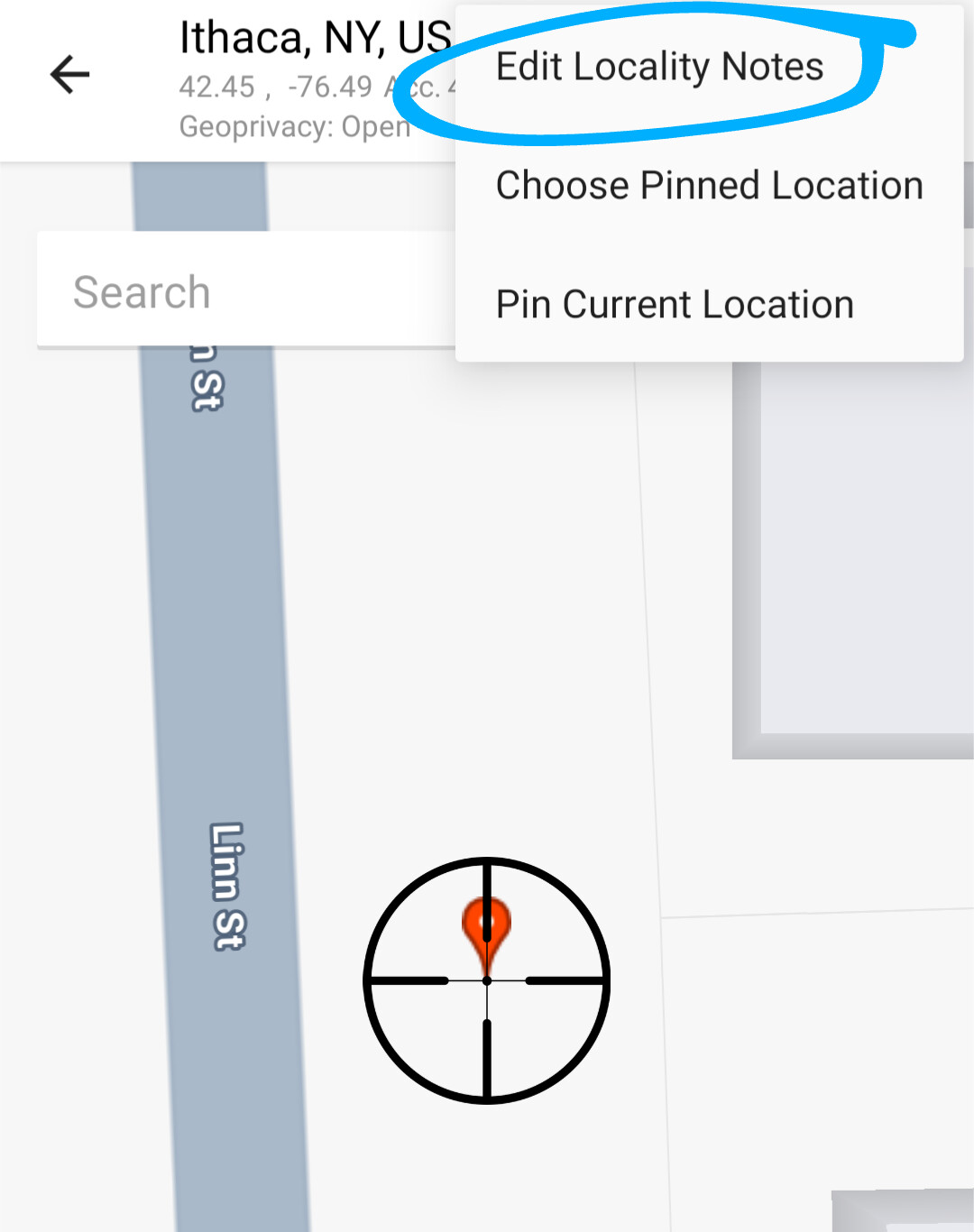
I’m not sure I understand your proposal. While I can certainly provide the correct community in the observer notes, that does not change the fact that the iNaturalist system is telling people the wrong location - or that it just started doing so in the last couple of weeks. Which means that - among other things - observations that happened only feet from each other now look like they happened on opposite side of the county.
The iNaturalist system uses maps from Google, so the text there is initially generated from Google. It’s not something iNaturalist has direct control over other than the fact that the iNaturalist system allows users to manually edit that text.